Rare 'thundersnow' strike captured on camera during vicious Ontario winter storm
Toronto saw pretty snow globe-like weather over the weekend as squalls rolled through southern Ontario and western New York, but some nearby communities were walloped with up to 125 cm of the white stuff, proving that lake-effect precipitation can really deliver insanely varied conditions to different locales just minutes away from each other.
Here in GTA-East we exist in a tiny pocket that will be spared this massive storm.#ONStorm pic.twitter.com/YXlIaGG9Rk
— Mike Gibbs🏳️🌈🇺🇦 (@Mikeggibbs) November 18, 2022
As predicted by Environment Canada last week, road conditions started turning "extremely dangerous" late Friday in some parts of the province as a "prolonged lake-effect snow event" settled over Lake Ontario and Lake Erie.
Storm thread:
— STORM WATCH- Lake Erie (@StormsOnErie) November 18, 2022
This giant wall of snow is now approaching Buffalo and Fort Erie. #onstorm #nywx pic.twitter.com/RvdybWQcy7
Multiple bands of snow squalls brought heavy flurries between Friday and Sunday to the Niagara Region, Buffalo, Owen Sound, Kingston, Barrie, Brockville, Wiarton and other communities, somehow sparing Toronto the brunt of the impact.
Absolutely insane snow rates here in Sunderland, Ontario #onstorm #onwx pic.twitter.com/h09f56rCTo
— Alex Todd 🌪 (@WickedWxON) November 20, 2022
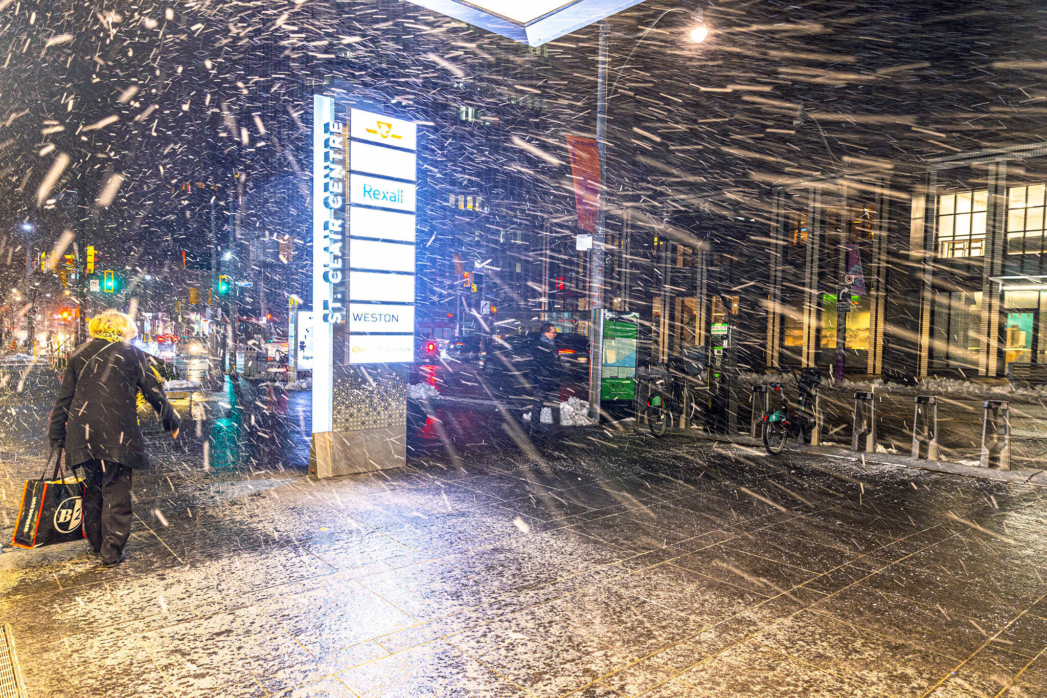
Canada's largest city got only about 3 cm of accumulation over the entire weekend, which is hard to believe when looking at footage coming out of places so close to us that we can see them across Lake Ontario on a clear day.
Benny loves the snow almost as much as me!#Buffalo #BuffaloStorm2022 #buffalolakeeffect #buffalosnow pic.twitter.com/C1QGV1KTwV
— BuffaloWeather (@weather_buffalo) November 18, 2022
Saturday saw a great deal of snow land upon Southern Ontario, but Sunday was even messier as "super-snow squalls" threatened to bring another 40 cm atop the 50 cm of snow already forecast in some parts of the region.
By the time Monday rolled around, Buffalo had been slammed by an historic six feet (more than 180 cm) of snow, out-totalling anything seen directly north of the border.
A snowsquall off of Georgian Bay decended upon and settled over Sunderland, Ontario, southeast of Lake Simcoe, for a good portion of the day today and left behind a significant amount of snow. I wasn't able to get a measurement but needless to say, it was lots. #ONStorm pic.twitter.com/M8qAS03Qii
— Michael Donly (@MythicalMD) November 21, 2022
That's not to say that squalls didn't seriously impact parts of Southern Ontario; Wiarton, a town of fewer than 2,000 residents in Bruce County, received an estimated 125 cm.
estimates of 3 ft, near wiarton#onstorm #onwx pic.twitter.com/jjxDHfQLfV
— charlie randall (@earthisanocean) November 20, 2022
Whether or not they ended up with feet of on the ground, many parts of the GTA saw near-impossible driving conditions at times.
@Muskoka411 HWY 11 NB coming into Orillia #ONStorm pic.twitter.com/0Ka3nwRNfW
— Cait Griffin (@caitgriff94) November 20, 2022
And visible moving snowmasses made for some jaw-dropping footage of Ontario skies.
Some of the amazing structure of these snow squalls over Lake Ontario view from Wellington Ontario in Prince Edward County #onwx #onstorm pic.twitter.com/9DjrpME7rM
— Bran_wx (@BranWx) November 20, 2022
But one of the coolest phenomena captured during this days-long burst of snow squalls was something many of us didn't know existed until we started seeing tweets like this one:
MASSIVE LIGHTNING STRIKE pic.twitter.com/YHaRJZaK4v
— I'm the weatherman, whatever man (@Weathermansam77) November 18, 2022
Did you know that thunder and lightning sometimes appear alongside heavy snow?
It's called "thundersnow," and those who witnessed it over the weekend were quick to share videos.
I knew my eyes weren't deceiving me! I just caught some #lightning on the Oswego, #NewYork livecam where the area is under a #LakeEffectSnowWarning. 🌨️🌩️#ThunderSnow #nywx #snow pic.twitter.com/lscQCHtDRD
— BirdingPeepWx (@BirdingPeepWx) November 17, 2022
"This is the most electrically active snow squall I have ever seen," said The Weather Network's Mark Robinson of the weekend storm.
According to the network, "lake-effect snow and summertime thunderstorms are cousins," born from the same process that creates big Ontario storms on humid days.
Sometimes lightning strikes twice ⚡⚡ and so does THUNDERSNOW ❄
— The Weather Network (@weathernetwork) November 18, 2022
📹: candlesarmy/Instagram Port Colborne, Ontario #ONStorm #ONwx #thundersnow pic.twitter.com/zA5ZgTphvq
Apparently the thundersnow storm was active for hours on Friday night.
Wow. Seven hours of off-and-on lightning in Buffalo.
— Dakota Smith (@weatherdak) November 18, 2022
One of the most prolific thundersnow events I've ever seen. pic.twitter.com/DNgqKCtJ24
And as lightning turned eyes up toward the sky, so too did some seriously cool (and kind of terrifying) walls of snow moving in.
I’ve never witnessed the #LakeEffect wall move like that.
— Nate Benson (@natebenson) November 19, 2022
This was around 11:30pm Friday as the band shifted into #Buffalo.
This was absolutely unreal to witness. @WGRZ pic.twitter.com/wlA06q7Wjn
The worst of this epic winter storm seems to have passed as of Monday afternoon, though special weather statements do remain in effect for some parts of the GTA on account of high winds.
Hamilton, Niagara, Oxford, Simcoe and Caledonia are among the communities still under an official Environment Canada advisory.
Fortunately, we can all enjoy cool weather events from safely inside our homes these days, thanks to the internet. Thanks, internet!
Latest Videos
Latest Videos
Join the conversation Load comments