Lake Ontario reaches highest water level in history
Lake Ontario water levels are the highest in history, which means the Toronto Islands are at risk of flooding.
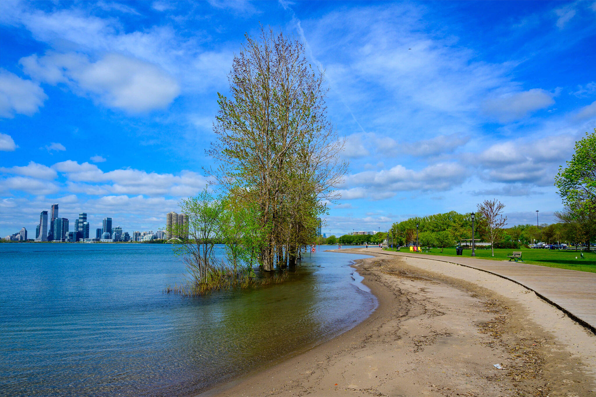
The lake is 76.03 metres above sea level. The last water level record reached 75.93 metres in 2017.
Islands Flooding Update – Lake levels have now reached the highest recorded level in Lake Ontario history. Staff are continuing to prepare, respond & monitor, including to high winds this afternoon that will bring significant wave action & possible breaches in multiple areas.
— Joe Cressy (@joe_cressy) May 30, 2019
But, this may not even be the end. Water levels are expected to continue rising over the next week.
Toronto Island residents are bracing for flooding. Over 2,000 sandbags and 30 sump pumps have already been put in place. Thirty-metre bags are laid out at the most vulnerable parts of the Islands.
“This is a difficult time for local residents, who are working tirelessly to protect the Islands,” city councillor Joe Cressy said on Twitter.
Last week, high winds knocked some of the sandbags over, which allowed water to flow inland. More high winds are expected on Thursday afternoon.
Cressy said setting up sandbags cannot be an annual tradition.
“We must also acknowledge that the climate crisis is real, and having a devastating impact on communities across our city and province,” he stated on his website. “As we work to mitigate impacts right now, we must adapt and plan for the future.”
Here in Toronto, we are feeling the local impacts of the #ClimateCrisis - with Toronto Islands at risk of significant flooding once again.
— Diana Yoon (@DianaDYoon) May 30, 2019
But annual sandbagging can't be the solution. We must accelerate #TransformTO climate solutions and mitigate fast. https://t.co/Qh3t6u4PLP
Ferry services have been cancelled to Hanlan’s Point and the area around Gibraltar Point is closed off.
Latest Videos
Latest Videos
Join the conversation Load comments