New 3D map makes it easier to navigate the PATH
Anyone who's ever had to travel through the PATH can attest to the fact that it's a difficult place to get one's bearings, particularly the first few times you find yourself down there. I suspect the primary culprit for this is that it's challenging to conceptualize the entire system. There are so many twists and turns that it's simply too easy to lose one's sense of direction.
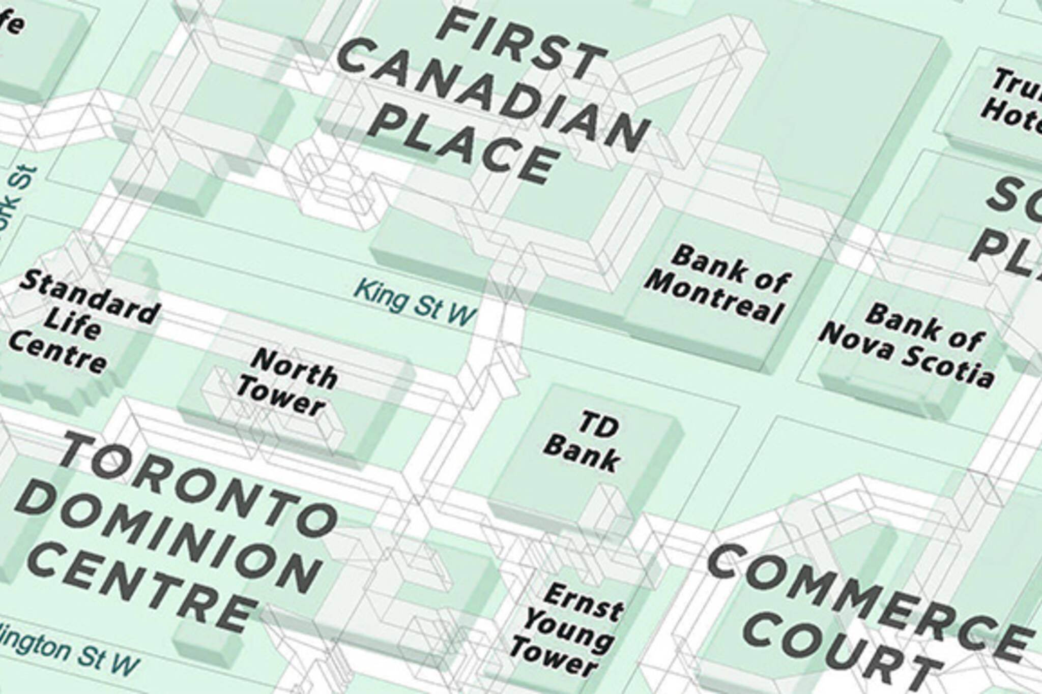
This new 3D map of the PATH by William Davis might make navigating Toronto's underground network a little bit easier. While there are existing maps and wayfinding signage throughout the system, it remains difficult to envision how everything connects down there.
It'll depend on how your brain works (and whether or not you've already mastered the PATH), but something about the 3D element helps me to visualize the various routes of the network and how they link up.
So if you still find yourself stumped by the PATH, this might offer a way to get a handle on the subterranean maze. Click here for a zoomable version of the map.
Latest Videos
Latest Videos
Join the conversation Load comments


