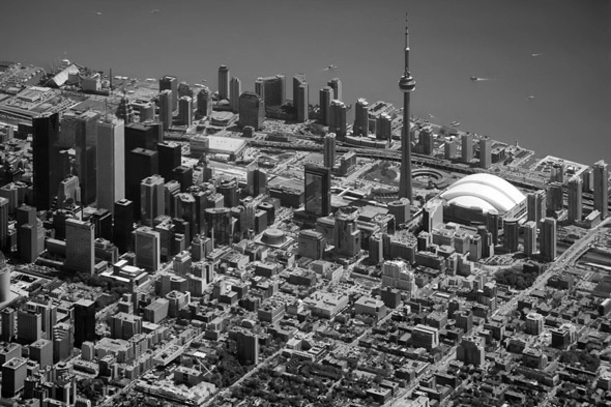
Looking Down at The City
The Core [ - view it larger - ]
Last week I returned from a business trip and was lucky enough to get the Air Canada aerial tour of some of Toronto's landmarks on a rather clear day. I snapped away through the window of the plane as we circled the city to land at Pearson.
A smaller plane going over the mouth of the Humber River, an incredibly long look down Yonge St., and a bird's eye view of the criss-crossing road patterns at the junction of the 407 & 404 highways follow...
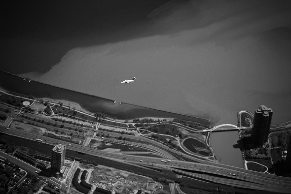
Mouth of the Humber River [ - view it larger - ]
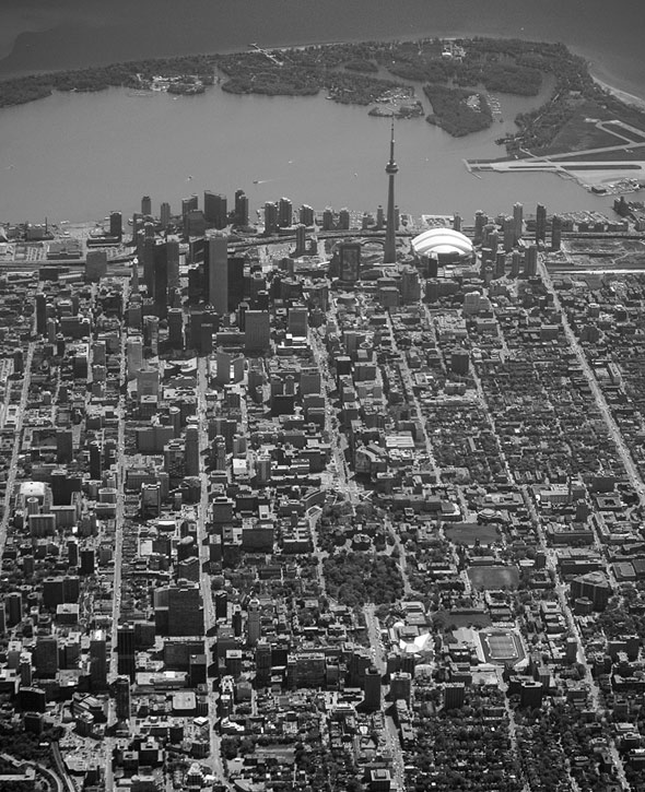
Looking Down Yonge St. [ - view it larger - ]
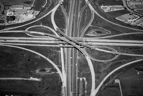
407/404 Highway Junction [ - view it larger - ]
Latest Videos
Latest Videos
Join the conversation Load comments


